

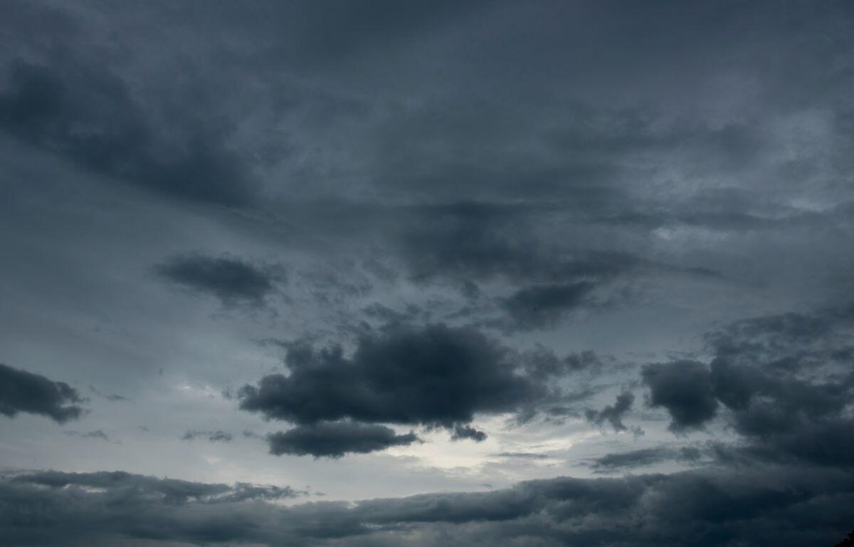

Springfield, IL (CAPITOL CITY NOW) – Severe weather that impacted a good portion of Central Illinois Friday night didn’t cause many problems here.
According to storm reports from the National Weather Service in Lincoln, despite hours worth of Severe Thunderstorm Watches and tornado warnings, only one tornado was reported close to Springfield — in Middletown. Other tornadoes — one confirmed on the ground at one point near Easton, and another unconfirmed near Emden. There were many reports of wind gusts in the region.
From about 7 p.m. Friday until after 9, storms started near the Mississippi River and made their way east across Central Illinois. Multiple tornado and severe thunderstorm warnings were in effect. Parts of Central Illinois reported hail one inch in diameter or better.
As of 9:30 a.m. Saturday, Ameren reported 13,300 customers without power in their Illinois area. CWLP in Springfield reported none.
The storms of Friday night are ushering in a colder weekend in Springfield, Temperatures will be at or below freezing the next couple nights, causing the potential for frost. Highs Saturday through Monday are expected to be in the upper 50’s to low 60’s.