


 Listen Live
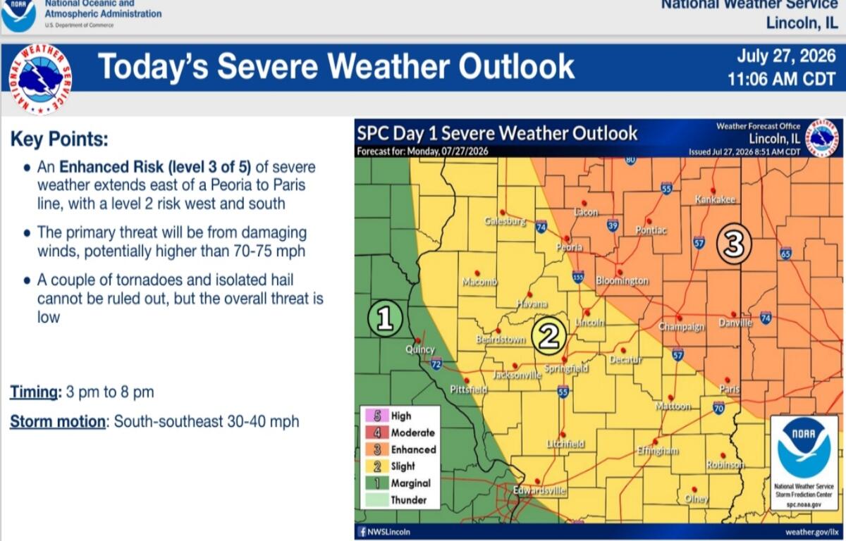

(CAPITOL CITY NOW) – High winds are the most likely product of any severe weather the Springfield area experiences Monday afternoon and evening, according to the warning coordination meteorologist at the National Weather Service in Lincoln.
“That primary threat is downburst winds,” Shimon told an online briefing audience Monday morning. “The tornado threat is not zero, but that does seem to be more focused a little bit further north. We are at a two percent risk there. Some hail may develop, but certainly not intense. Very, very large hail is not expected out of this particular system.”
More severe weather is expected east and northeast of the WTAX listening area.
The best guess at the time frame of when we expect severe weather and probably a watch out there is 3-8 p.m.,” said Shimon. “Storm motion is going to be north to south motion, so south-southeast directional motion out of any individual cells that do develop.”