

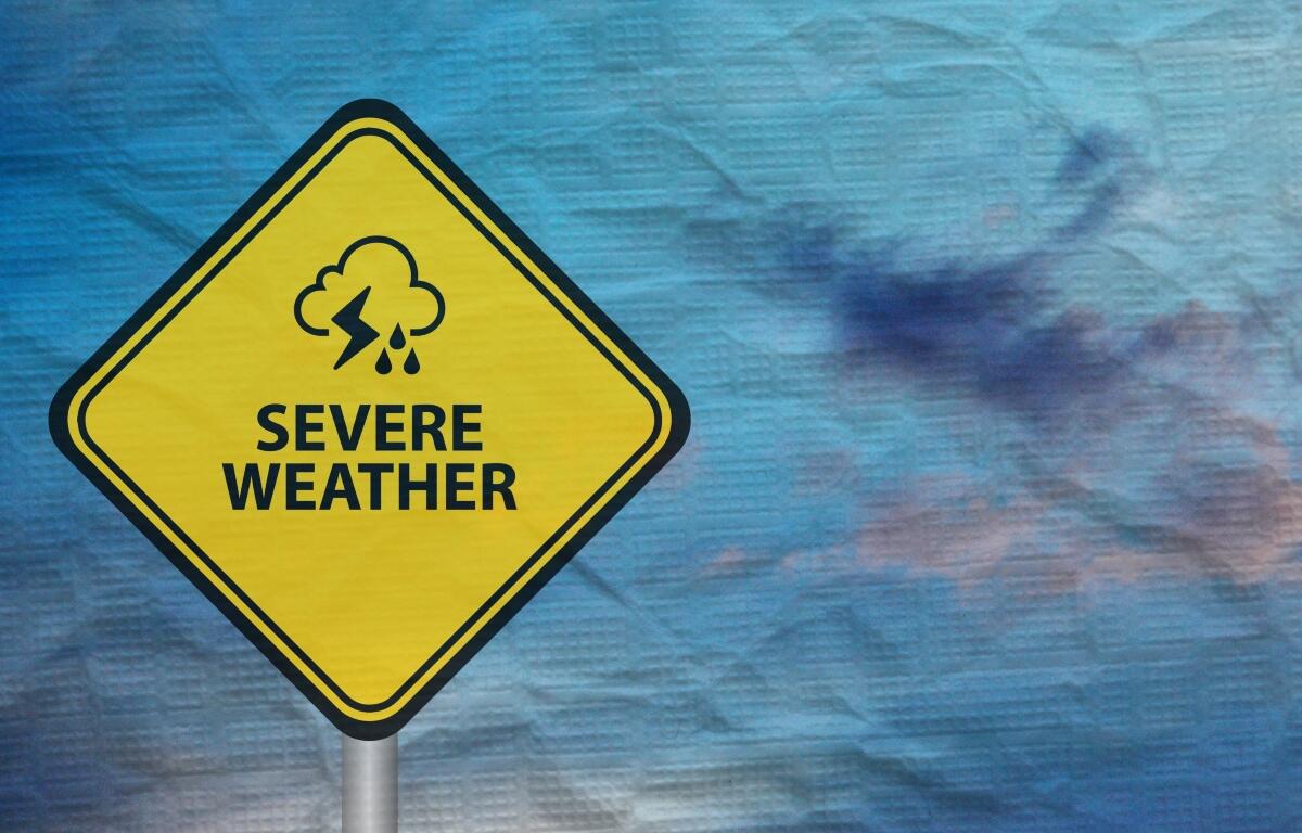

Lincoln, IL (CAPITOL CITY NOW) – More of Illinois is now in an “enhanced” risk for severe weather Friday, than when forecasters initially talked about it Thursday.
According to the National Weather Service office in Lincoln, the greatest threat from storms forming along the Mississippi River than growing will be tornadoes, but that will be north and west of Springfield through the Quad Cities. But, Meteorologist James Auten says wind gusts of 75 miles per hour or greater will be more likely in Springfield and Jacksonville.
“We’re getting there pretty strong with the wind,” said Auten, in a conference call Friday morning.
But, high winds will not be the only threat with any storms that come in to the area, Auten said.
“We could see some thunderstorms that could produce localized swaths of heavy rain of about two inches or more,” said Auten. “Some of the guidance is suggesting possibly even two to four inches… which will be over areas that have already received pockets of heavy over the last week or so.”
Auten stresses making sure batteries are full and cell phones are charged, making sure you have substantial shelter, and being vigilant and aware.
If the severe weather isn’t enough, Auten says some cold weather is on the way Saturday and Sunday, with the possibility of frost Saturday night.
Weather watches and warnings, as issued, can be heard on Newstalk 93.9 and AM 1240 WTAX, and can be seen on the Weather page of CapitolCityNow.com.