


Lincoln, IL (CAPITOL CITY NOW) – Severe weather could hit the Springfield area Thursday.
But, it’s more likely to the south and east of here.
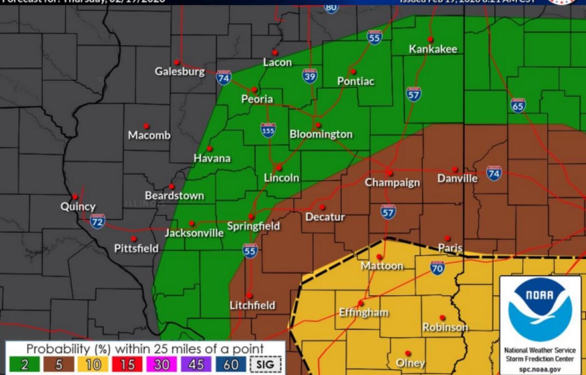
“We have about a ten percent chance of tornadoes, basically from about Shelbyville, Mattoon, and Paris southward,” said Chris Geelhart, meteorologist, National Weather Service in Lincoln. “The Storm Prediction Center…indicates there is a ten percent they will be at least EF-2 intensity.”
Geelhart thinks the bigger threat may be from hail, with some heavy rain also a possibility, but will be out of the area by 5:00 p.m. for the most part.
The bigger concern, Geelhart says, is when the storms may occur.
Some places, (the storms will come) when school is letting out. People may still be at work. They’re not used to having their severe weather plans from those vantage points,” said Geelhart. “Think about where you happen to be at the time, not where you normally go for severe weather.”
A cluster of storms is forming in the St. Louis area, and is moving east, with more possibly forming as the cluster travels, Geelhart says.
Tune to Newstalk 93.9 and AM 1240 WTAX for the latest weather watches and warnings as they are announced.