

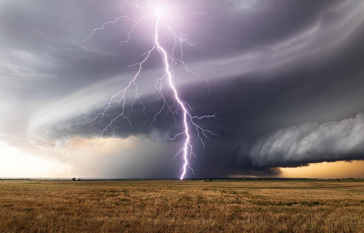

Lincoln, IL (CAPITOL CITY NOW) – Severe weather is possible across a good portion of Illinois Friday, starting late-afternoon.
According to James Auten, a meteorologist with the National Weather Service in Lincoln, storms will start to fire up by mid-afternoon Friday before becoming more organized, with the greatest threat not far from Springfield.
“We are expecting tornadoes, damaging straight-line winds, and large hail,” said Auten, in a Thursday afternoon briefing. “The best chances right now still look like they’re going to be west of Interstate 55.”
Wind gusts could be as high as 75 hours per hour in that area, says Auten, with EF-2 tornadoes, and hail two inches in diameter possible. Springfield is in a “slight” risk category as of Thursday, with areas to the west in an “enhanced” risk area. But Auten said the risk areas have been shifting to the east somewhat.
So, Auten says, that means taking the time now to prepare is a good idea.
“Make sure you have multiple ways of getting the (severe weather) warnings,” said Auten. “Don’t rely on outdoor warning sirens. Don’t rely on your phone. Have multiple ways of getting that — more than one — in case one of those fails. Always have a safe place for shelter. Can’t say that enough.”
If watches and warnings are issued, you can hear them first on Newstalk 93.9 and AM 1240 WTAX. Warnings will also be available on the Weather page of CapitolCityNow.com when they’re issued.
Illinois has had multiple rounds of severe weather this week, mostly to the north of Central Illinois.
The storms Friday will lead to a dry, but cooler, weekend. Highs Saturday and Sunday will be in the 50’s and 60’s.