

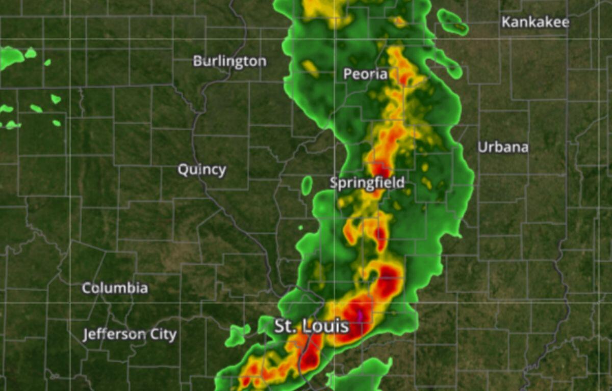

Springfield, IL (CAPITOL CITY NOW) – The National Weather Service has issued the following alerts:
Tornado Watch until 3 a.m. Saturday
Wind Advisory through 4 p.m. Saturday.
TIMING: The storm will likely move into the Springfield area around 8 p.m. with storm activity continuing in Central Illinois until 2 a.m.

RISK: Structural damage is possible due to the possibility of 75+ mph straight-line winds, tornadoes (EF-2 or greater), and large hail (2”).

Widespread strong wind gusts to 50 mph are expected both today and Saturday in addition to severe thunderstorm winds.

Rapid & erratic fire spread is possible Friday. NWS meteorologist James Auten, in a briefing Friday afternoon, said dust storms are also possible if there is loose topsoil from nearby farms.