

UPDATED: 1:14 p.m.
Springfield, IL (CAPITOL CITY NOW) – The snow we got Thursday was, for the most part, what the National Weather Service said we could get. And, more is on the way.
According to storm reports from the National Weather Service (NWS) in Lincoln, Abraham Lincoln Capital Airport reported 3.4 inches of snow as of 6:00 a.m. Friday. Most other parts of the immediate area saw three inches or more of snow. The National Weather Service office in Lincoln received 3.6 inches.
The snow caused a number of schools in the area to cancel classes Friday. One, Pawnee, moved to an E-learning day.
More snow is in the forecast for Saturday, and some of it in the area could be heavy at times. Springfield, however, is only forecast to get two to four inches of additional snow, mostly Saturday morning and afternoon. However, much of Central Illinois is now under a WINTER WEATHER ADVISORY from 7 a.m. to 8 p.m. Saturday.
The City of Springfield says parked cars must be moved off of snow emergency routes by 11 p.m. Friday, as a Snow Emergency will be in effect from 7 a.m. Saturday until 12:00 p.m. Tuesday. Residents and businesses are encouraged to clear their sidewalks — or face a possible fine. The city says sidewalks should be cleared by 10:00 a.m. each day of a snow event.
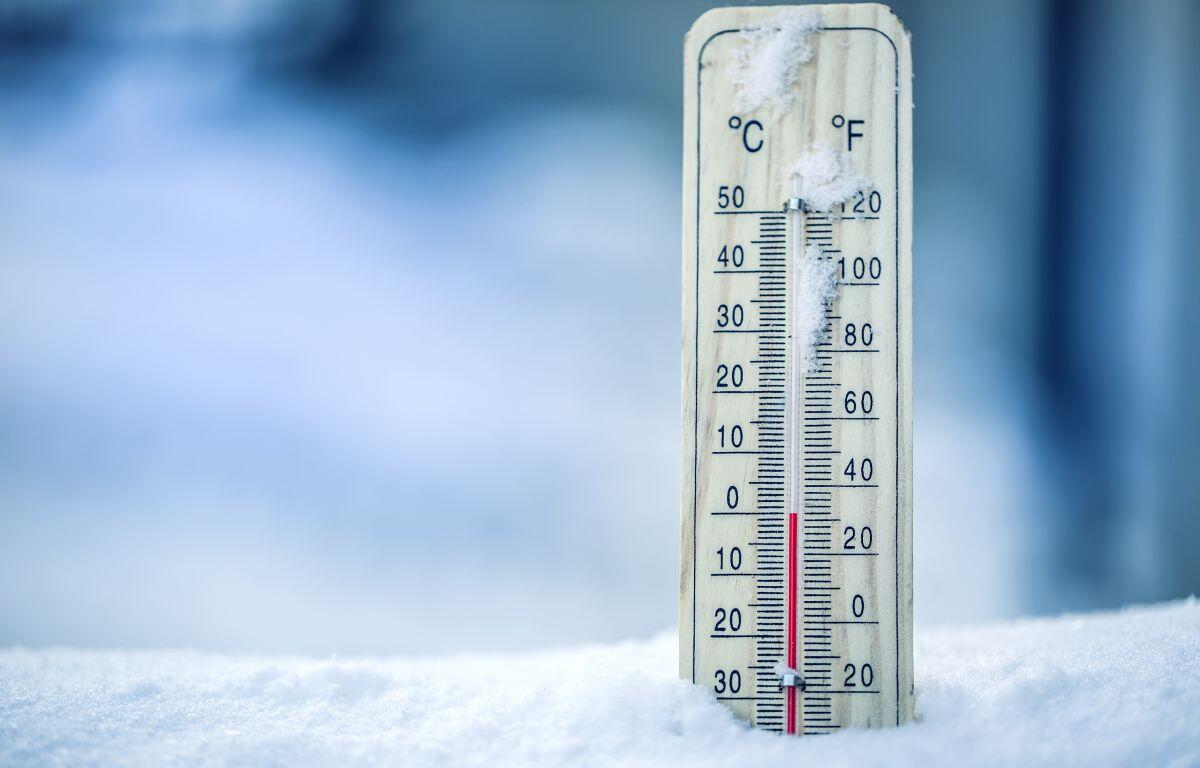
After that snow, NWS says, arctic air will settle in, with lows Saturday night and Sunday night below zero, with highs in the single digits. On the bright side, temperatures are supposed to be above normal by Christmas, making a “White Christmas” in Springfield not very likely.
Highs will be close to 40 by Tuesday of next week, according to the NWS, giving the snow plenty of time to melt.