

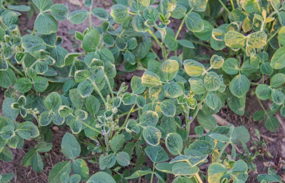

Urbana, IL (CHAMBANA TODAY) – Scientists at the University of Illinois Urbana-Champaign have developed a groundbreaking drone-based system capable of detecting subtle soybean canopy damage caused by dicamba herbicide drift — even at one ten-thousandth of the legal label rate — just eight days after exposure.
This major advance in remote sensing offers a powerful, science-based tool to monitor crop injury from the sky, reducing human error and subjectivity in field evaluations.
“We’ve been waiting for a tool like this since dicamba-tolerant soybeans hit the market in 2016,” said Dr. Aaron Hager, professor in the Department of Crop Sciences and Illinois Extension Specialist. “The EPA would ask us every year how much damage we were seeing. Now, instead of relying on complaints and guesswork, we can provide real data.”
Using high-tech cameras mounted on drones, the research team calibrated their equipment to detect damage levels at ultra-low doses of dicamba — including rates that simulate vapor drift. They successfully differentiated between healthy plants and those exposed to even the smallest traces of the herbicide.
“We’re using sensors to detect things the human eye can’t,” said Hager. “We all recognize cupped soybean leaves, but we haven’t always known when the exposure happened. Now we do.”
The study, led by doctoral student Dylan Kerr, revealed that symptoms worsened over time and with increasing dicamba exposure — even though no plants died. Findings were published in Pest Management Science under the title, “Soybean (Glycine max L.) canopy response to simulated dicamba vapor drift using unmanned aerial sensing.”
“This could absolutely lead to drones being used to fly over fields and document drift damage quickly and accurately,” Kerr said. “We’re even working to scale this up using satellite imagery.”
The researchers believe their work will benefit not just farmers, but also policymakers and everyday homeowners.
“We’re not pushing an agenda,” said co-author Marty Williams, adjunct professor of crop sciences. “We’re public scientists asking important questions and sharing the answers. This is what public research should be doing.”
The research team is now developing protocols for broader applications, including potential monitoring of tree and shrub damage in urban and rural landscapes.