


UPDATED 1:51 P.M.
A TORNADO WATCH is in effect until 8 p.m. Thursday for the western part of our area.
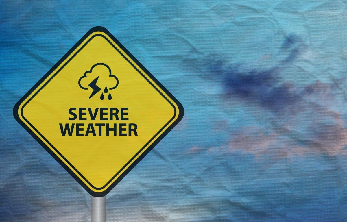
Lincoln, IL (CAPITOL CITY NOW) – Almost all of northern and central Illinois could be in line for an enhanced risk of severe weather Thursday.
“Timing for the initiation of the…start of the storm wave, could be as early as 1 p.m. — pretty extended period of time that we’re going to be in a threat of severe weather,” said Ed Shimon, warning Coordination Meteorologist, National Weather Service, Lincoln, IL. “The emphasis of this (Storm Prediction Center) upgrade was tornado(es).”
And Shimon says those could be in the range of EF-2 across that whole area, if they form.
“The amount of wind shear and spin in the atmosphere — those tornadoes could spin and become impactful,” Shimon said. “It’s not just in the enhanced risk area where we have that EF-2 potential for tornado development. Keep that in mind.”
The biggest threat for storms, coming in potentially two waves, could be late Thursday afternoon, said Shimon.
Conditions are expected to be dry most of Friday, then more rain and cooler temperatures on Saturday.