


Springfield, IL (CAPITOL CITY NOW) – The Springfield area somewhat dodged a weather bullet Tuesday afternoon.
The National Weather Service issued several severe thunderstorm and especially tornado warnings for slow-moving storms that dumped rain and some hail on the area.
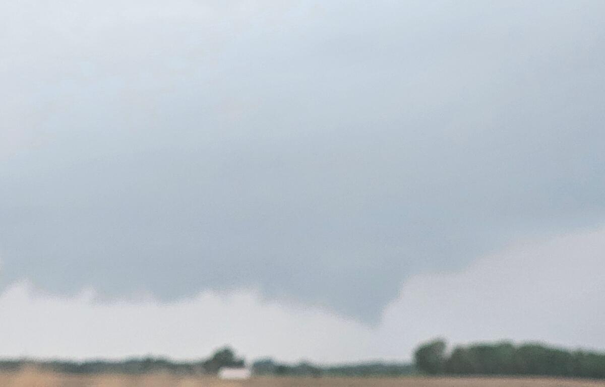
At least one funnel cloud was seen by trained weather spotters close to Chatham, but isn’t believed to have caused any major damage.
What the storms did cause was hail ranging from penny-sized to golf ball sized.
A complex of storms extended from the Quad Cities area in northwestern Illinois, to Springfield.
Tornado warnings were triggered there as well.
The data is from storm reports submitted to the National Weather Service in Lincoln.
A Tornado Watch is in effect until 8pm Tuesday.